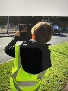
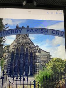
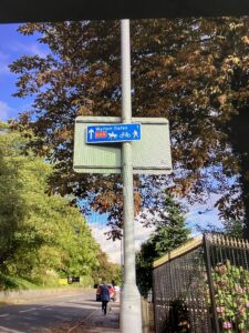
On Monday, a group of children went on a short walk around our local area. They observed, and photographed, human and physical features and discussed the different types of land-use in Wetherby. During the outing, the children were able to spot some Ordnance Survey map symbols.
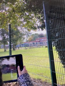
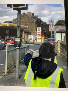
What is my local area like?
Next week, the whole class will study the findings from the walk. Using geographical skills and fieldwork, the children will map out the walk and describe the features seen.
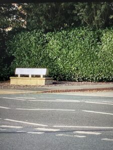
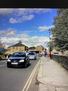
When you are out and about with your children, test their geographical knowledge.
Is this a human or physical feature?
What is the land used for?
What do you think this sign/symbol means?
Do you think there are any issues in this area? eg; parking, traffic, population, housing, green spaces
If you could change one thing about your location, what would it be?
Where are we?
Well done to the group of children that went for the walk. They represented the school superbly!